 Qala Shila Excavation Project
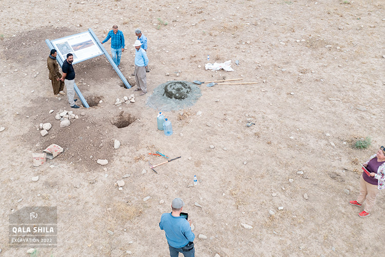
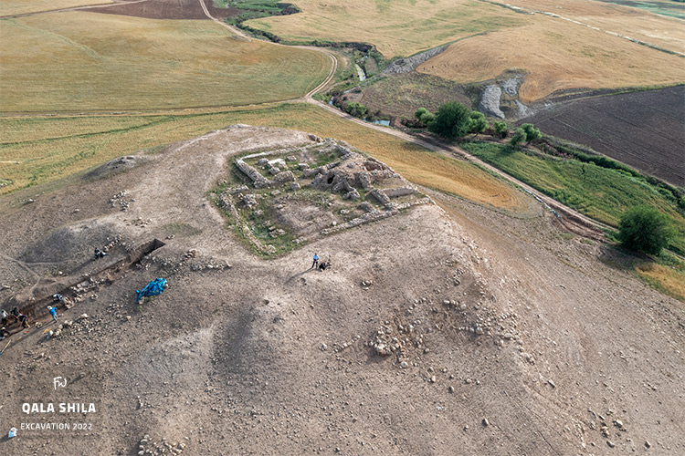
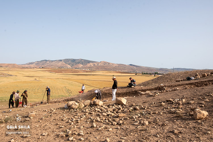
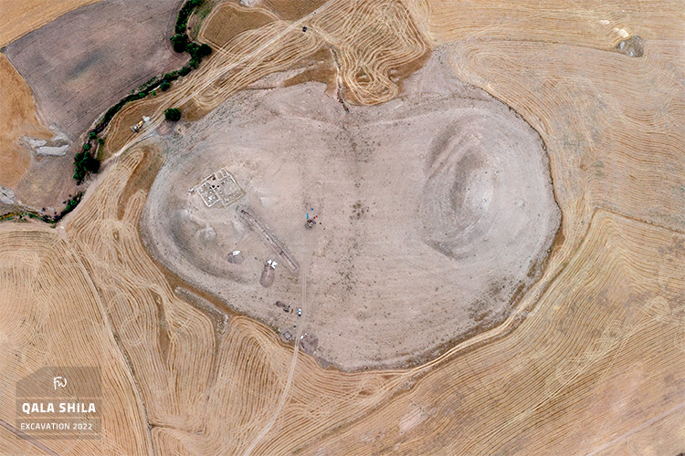
In Spring 2022, a team from FU Berlin, led by Cinzia Pappi with field supervision by Costanza Coppini and Matteo Merlino, conducted excavations in two areas on the western slope of Qala Shila's eastern mound. The goal of the 2022 campaign was to excavate a step trench in order to investigate and understand the site's stratigraphy and chronology.
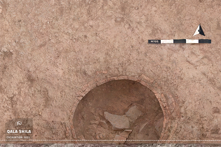
Materials from the site suggest a very long occupation, beginning in the Neolithic period and reaching its largest size between the 4th and 2nd millennium BCE, with substantial evidence of Late Bronze Age (Mittani and Middle Assyrian) settlement. The step-trench investigations established this settlement sequence in detail through archaeological materials — primarily pottery, along with a striking cylinder seal.
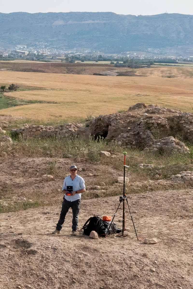
The 2022 surveying setup aimed to establish real-world coordinates in the UTM 38N system using a JAVAD GNS system. A long-duration satellite observation provided a UTM position for the initial benchmark with 95% confidence and less than 1m root mean squared error.
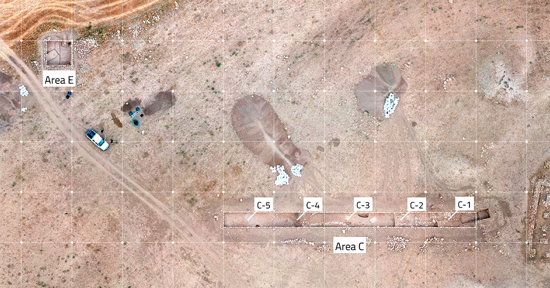
The excavations at Qala Shila were organized into Areas C and E, with Area C divided into five squares for better orientation in the 50m step trench, while Area E measured 5x5m. Excavation steps in Area C were determined based on chronological development during the dig. The setup, featuring precise GNSS-determined stake-out and initial surface lot documentation, was completed in just 2 days, ensuring the excavation could begin without delay!
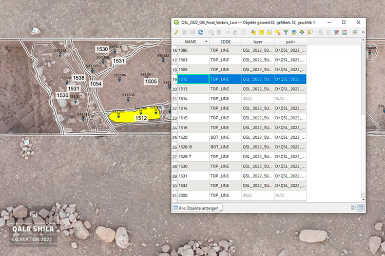
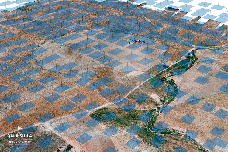
During the ongoing excavation, meticulous locus documentation was carried out using UAV-photogrammetry. Polygons generated from the UAV data were seamlessly integrated into the excavation process through GIS, ensuring real-time synchronization between team members. Final measurements, captured using GNSS, have been incorporated into the excavation’s master GIS file for continued reference and analysis.
Additionally, high-precision 3D photogrammetry was employed to document critical excavation phases, unique findings, and the final site state using a Nikon DSLR camera. These detailed 3D models, optimized for various visualization tools and GIS software, provide a robust resource for future measurements, visualizations, and vectorization.
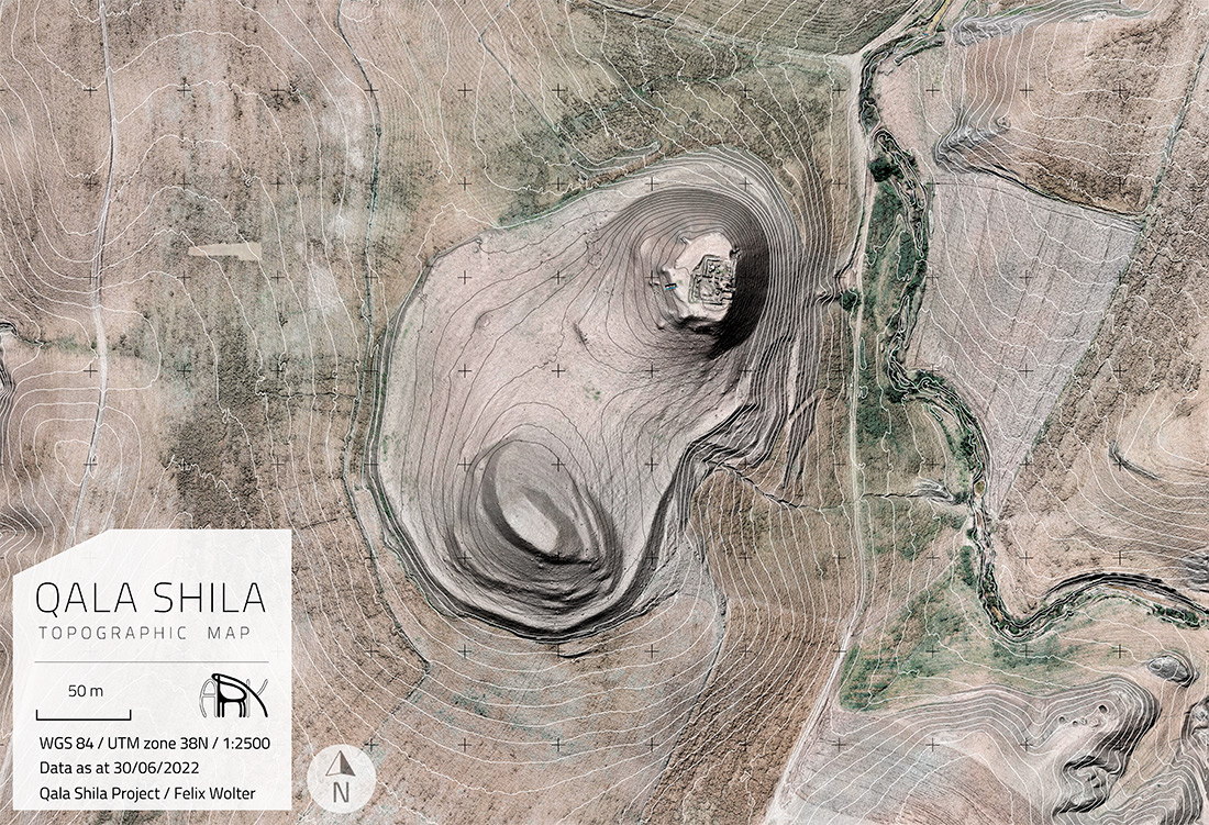
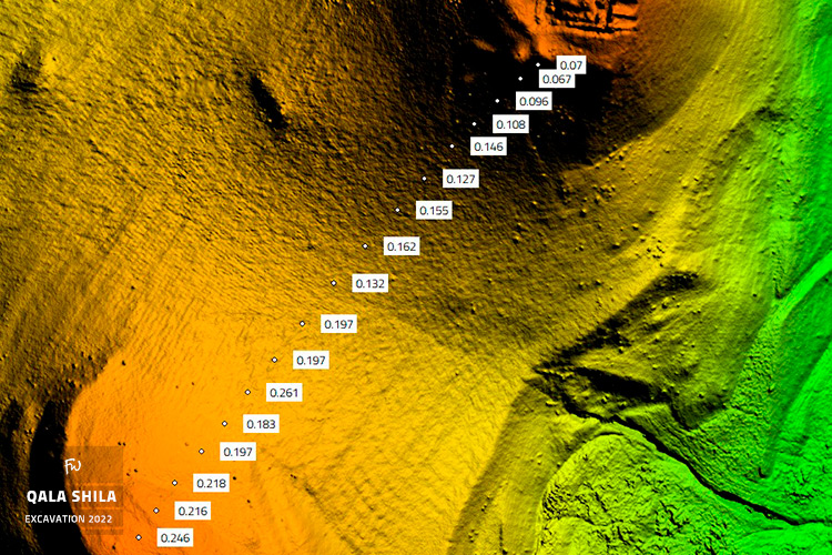
In the 2022 field campaign, a new topographical map of Qala Shila was created from scratch using advanced UAV technology and GNSS-surveyed markers, despite challenging weather conditions and difficult terrain. High-quality cameras, state-of-the-art drone equipment, and performance computers were used to achieve reliable results and ensure on-time delivery in the field.
The project covered approximately 50 hectares with 475 HDR images, resulting in a high-precision 3D model and Digital Elevation Model with elevation errors of around 16 cm on average and up to 26 cm at maximum. The point cloud was refined to remove vegetation, and a shaded surface model was generated to produce both contour maps and shaded 3D representations.
My services supported the Qala Shila project with:

 Stake-out of the Excavation Squares and Areas 2022