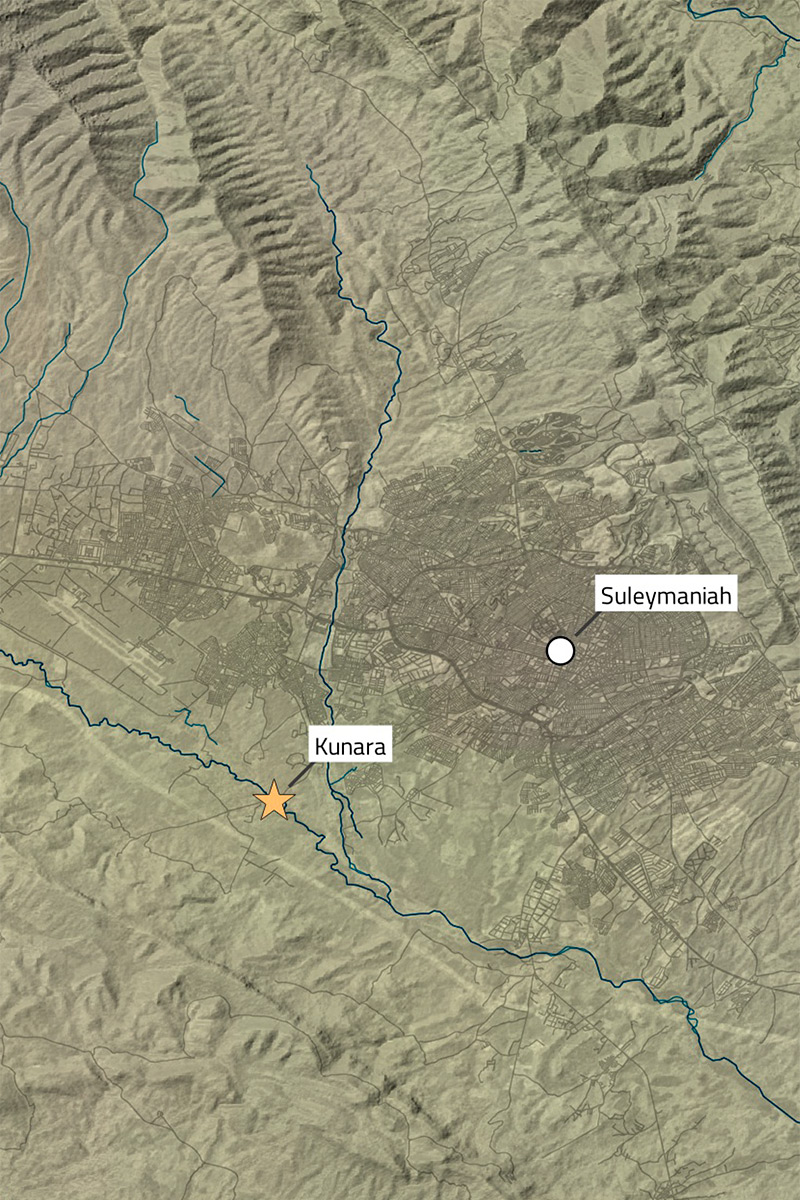
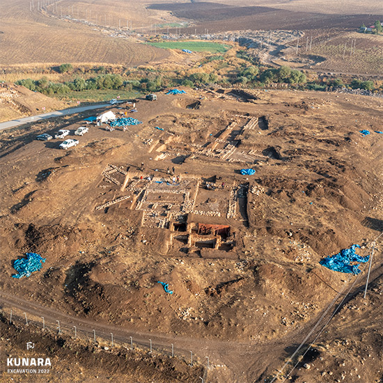
Kunara, located in the Suleymaniah province of Iraqi Kurdistan, lies approximately 8 km southeast of modern Suleymaniah, near the charming suburb of Bakrajo. While the ancient name of the site remains unknown, its strategic position controlling the Tanjero River at the foothills of the Zagros Mountains highlights its outstanding importance. The site reveals the prosperity of a previously unknown city and its extensive commercial connections with distant regions during the Bronze Age.
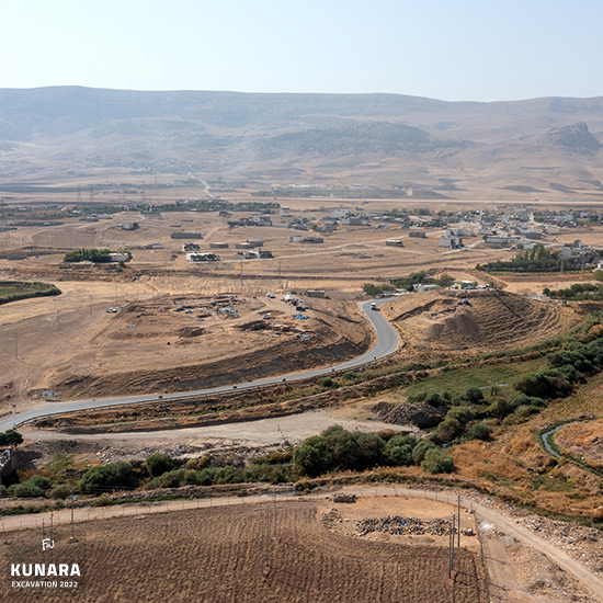
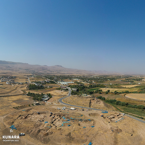
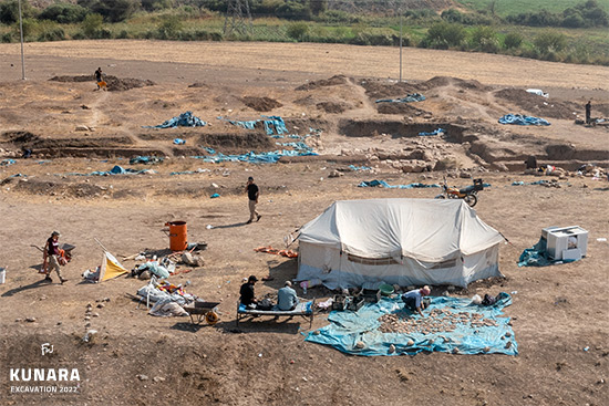
Since 2012, the French Archaeological Project in Peramagron, led by Dr. Aline Tenu, has been actively excavating Kunara, uncovering several impressive monumental buildings with thick stone wall foundation and intricate drainage systems. These extraordinary discoveries, which include a wealth of pottery, bronze artifacts, and cuneiform tablets, between the Early Bronze Age and Iron Age and offer a vivid and detailed glimpse into the site's rich historical evolution and everyday life.
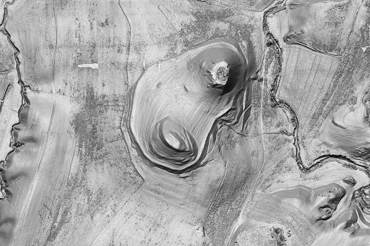
My assessment at Kunara aimed to provide a complete picture by creating high-resolution 3D records of all the site’s architectural remains and the surrounding landscape. Despite challenges such as restricted flight heights near Suleymaniah International Airport and autumn weather, detailed 3D models of all four excavation zones were successfully produced.
Additionally, a comprehensive topographical map of Kunara was recorded using extensive UAV flights and precise GNSS-surveyed markers for exact localization. The 3D survey, which covered a significant area and utilized a wealth of images, was meticulously planned and expertly coordinated with the support of our local DoA representative.
The resulting ortho-image and digital elevation model offer exceptional detail and clarity. These final products, including the contour map and 3D topographic representation, will greatly support the archaeological team in their ongoing work. Since most of the resulting material is designated for internal use within the project and awaits publication, I’m able to share only a limited selection of the results here on my website.
My services contributed to the Kunara project by: